 Hidrográfico+
Type of resources
Available actions
Topics
INSPIRE themes
Provided by
Years
Formats
Representation types
Update frequencies
Service types
Scale
Resolution
-
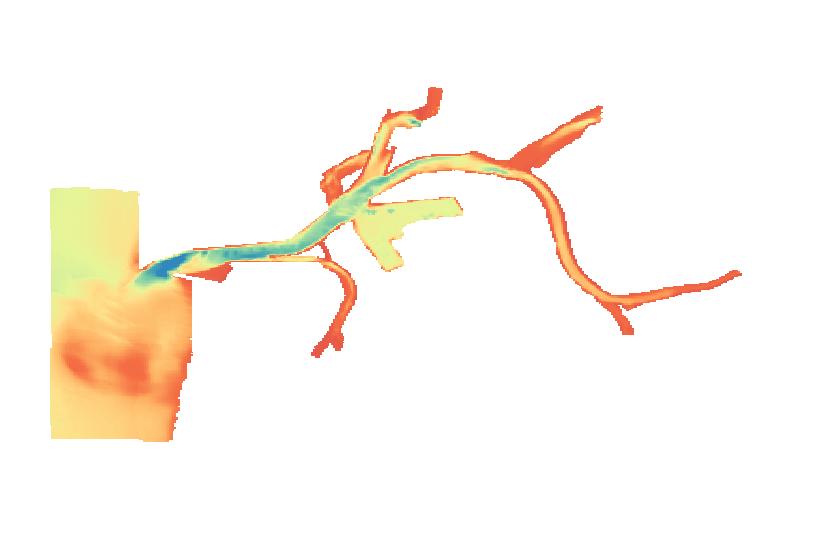
WMS criado com base numa camada de informação matricial gerada a partir de uma malha regular de profundidades, com uma resolução espacial de 25 mts
-
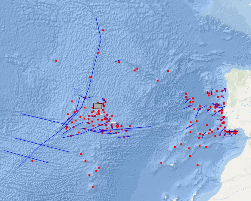
WFS criado com os Nomes do relevo submarino.
-
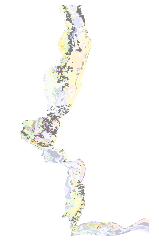
WMS criado com base nas cartas da Série Sedimentológica. A "Carta dos Sedimentos Superficiais da Plataforma Continental Portuguesa" é uma publicação do Instituto Hidrográfico, integralmente financiada pelo Ministério da Defesa Nacional. Esta cartografia, pertencente à “Série Sedimentológica”, é constituída por oito folhas à escala de 1:150000 e respetivas notas explicativas: SED 1 - De Caminha a Espinho (1.ª edição), SED 2 - De Espinho ao Cabo Mondego (1.ª edição), SED 3 - Do Cabo Mondego ao Cabo Carvoeiro (1.ª edição), SED 4 - Do Cabo Carvoeiro ao Cabo da Roca (1.ª edição), SED 5 - Do Cabo da Roca ao Cabo de Sines (1.ª edição), SED 6 - Do Cabo de Sines ao Cabo de S. Vicente (1.ª edição) e SED 7/8 - Do Cabo de S. Vicente ao Rio Guadiana (2.ª edição). À data, todas as oito folhas se encontram publicadas, mas apenas a folha SED 7/8 tem a correspondente nota explicativa produzida e editada. As campanhas oceanográficas realizadas pelo Instituto Hidrográfico no âmbito do Programa SEPLAT possibilitaram a colheita de mais de 12 mil amostras de sedimentos da superfície do fundo marinho ao longo de toda a costa de Portugal continental e até aos 500m de profundidade, segundo uma malha de amostragem regular com 1 milha náutica de espaçamento médio. As amostras de sedimento assim obtidas, depois de processadas no laboratório de sedimentologia do Instituto Hidrográfico, forneceram a informação necessária ao desenho e construção das referidas cartas. A classificação adotada na "Carta dos Sedimentos Superficiais da Plataforma Continental Portuguesa" engloba informação sobre o tamanho das partículas e teor em carbonato de cálcio. O sistema de referência utilizado foi Projeção de Mercator - Elipsoide Internacional - Datum Lisboa.
-
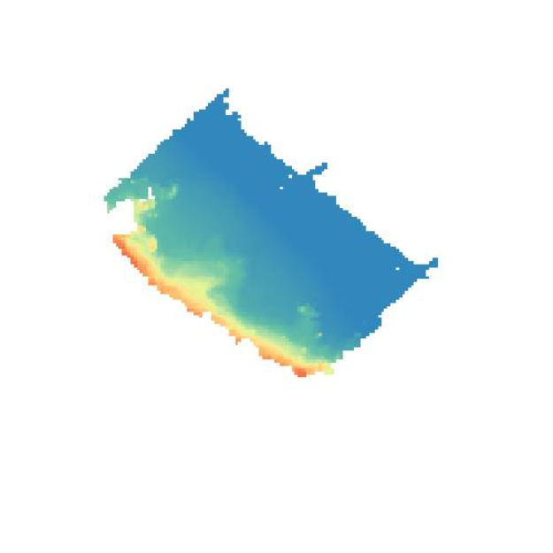
Modelo batimétrico construído com base na informação de sondagem do Instituto Hidrográfico (IH). Ano(s): 2005. Este conjunto de dados integra os Conjuntos de Dados de Elevado Valor/HVD identificados de acordo com o Regulamento de Execução n.º 2023/138 da Diretiva (UE) 2019/1024, relativa aos dados abertos e à reutilização de informações do setor público
-
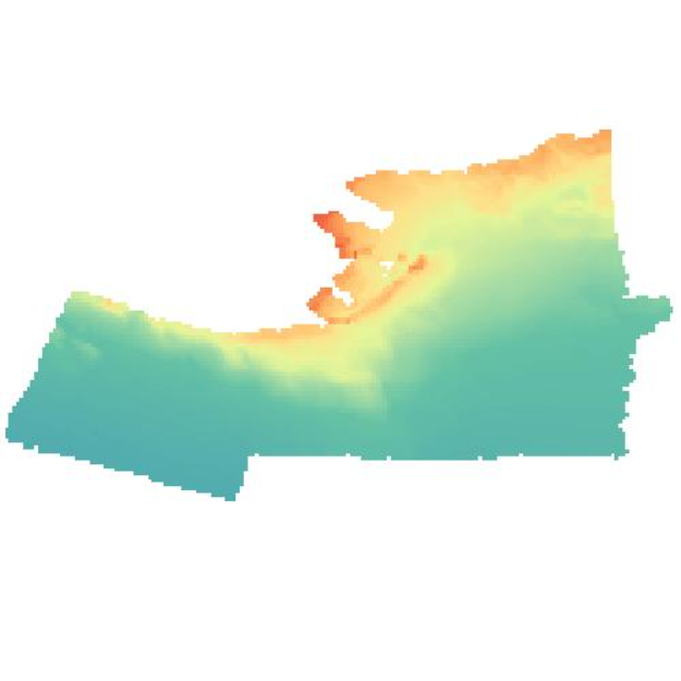
Modelo batimétrico construído com base na informação de sondagem do Instituto Hidrográfico (IH). Ano(s): 2005-2008. Este conjunto de dados integra os Conjuntos de Dados de Elevado Valor/HVD identificados de acordo com o Regulamento de Execução n.º 2023/138 da Diretiva (UE) 2019/1024, relativa aos dados abertos e à reutilização de informações do setor público.
-
WMS criado com a localização dos radares HF que constituem a Rede de radares costeiros
-
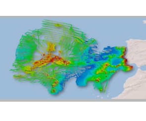
Dados batimétricos resultantes de levantamentos hidrográficos com sondador multifeixe, realizados por navios da Marinha Portuguesa e por navios de investigação que realizaram cruzeiros científicos em águas nacionais. A resolução dos dados é a seguinte: Profundidade entre 50m e 250m – Resolução de 32m Profundidade entre 250m e 1000m – Resolução de 64m Profundidade entre 1000m e 2000m – Resolução de128m Profundidade entre 2000m e 4000m – Resolução de 256m Profundidade com valores superiores a 4000m – Resolução de 512m Este conjunto de dados integra os Conjuntos de Dados de Elevado Valor/HVD identificados de acordo com o Regulamento de Execução n.º 2023/138 da Diretiva (UE) 2019/1024, relativa aos dados abertos e à reutilização de informações do setor público. As instruções de acesso aos dados encontram-se disponíveis em: https://www.facebook.com/share/r/1FKz78kvpp/?mibextid=wwXIfr Citação: Instituto Hidrográfico (2025): Seamap 2030. https://doi.org/10.71683/ebacc5a6-0504-4f97-94e5-4e5146dd0318
-
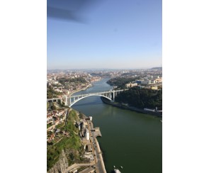
A Carta Eletrónica de Navegação para Águas Interiores, ICEN (IENC – Inland Electronic Navigational Chart), é uma carta vetorial digital destinada a ser usada num IECDIS (Inland ECDIS), produzida em conformidade com os requisitos da OHI e do Inland ENC Harmonization Group (Grupo para a Harmonização das Cartas de Navegação para Águas Interiores). O projeto de cartografia náutica fluvial da Via Navegável do Douro está integrado no “Douro’s Inland Waterway 2020”, ação sob gestão da Administração do Porto do Douro, Leixões e Viana do Castelo (APDL) e é um projeto essencial para o reforço das condições de segurança da navegação nessa via. O projeto, executado pelo Instituto Hidrográfico, foi constituído por diversas etapas, nomeadamente: O levantamento hidrográfico de toda a VND; A definição do canal de navegação; A elaboração dos projetos de assinalamento marítimo; A elaboração da cartografia náutica fluvial. Este conjunto de dados integra os Conjuntos de Dados de Elevado Valor/HVD identificados de acordo com o Regulamento de Execução n.º 2023/138 da Diretiva (UE) 2019/1024, relativa aos dados abertos e à reutilização de informações do setor público. As instruções de acesso aos dados encontram-se disponíveis em: https://www.facebook.com/share/r/1FKz78kvpp/?mibextid=wwXIfr
-
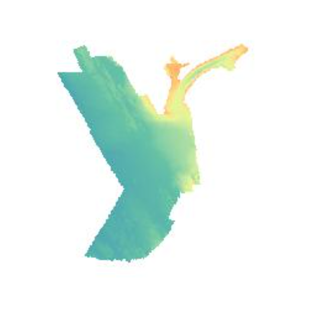
Modelo batimétrico construído com base na informação de sondagem do Instituto Hidrográfico (IH). Ano(s): 2012 Este conjunto de dados integra os Conjuntos de Dados de Elevado Valor/HVD identificados de acordo com o Regulamento de Execução n.º 2023/138 da Diretiva (UE) 2019/1024, relativa aos dados abertos e à reutilização de informações do setor público
-
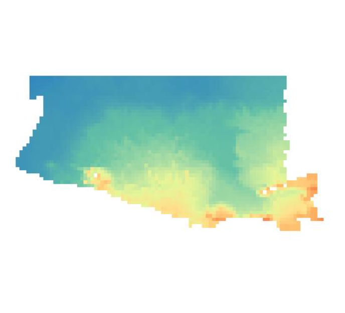
Modelo batimétrico construído com base na informação de sondagem do Instituto Hidrográfico (IH). Ano(s): 2009. Este conjunto de dados integra os Conjuntos de Dados de Elevado Valor/HVD identificados de acordo com o Regulamento de Execução n.º 2023/138 da Diretiva (UE) 2019/1024, relativa aos dados abertos e à reutilização de informações do setor público.